


A recently published paper has provided new insights on the geographical evolution of the Cardigan Bay coastline since the last ice age, including support that draws upon Celtic literature.
The interdisciplinary research project was undertaken by Simon Haslett, Professor of Physical Geography at Swansea University, whilst he was at Jesus College under a Short-term Visiting Fellowship, and David Willis, Jesus Professor of Celtic at the University of Oxford.
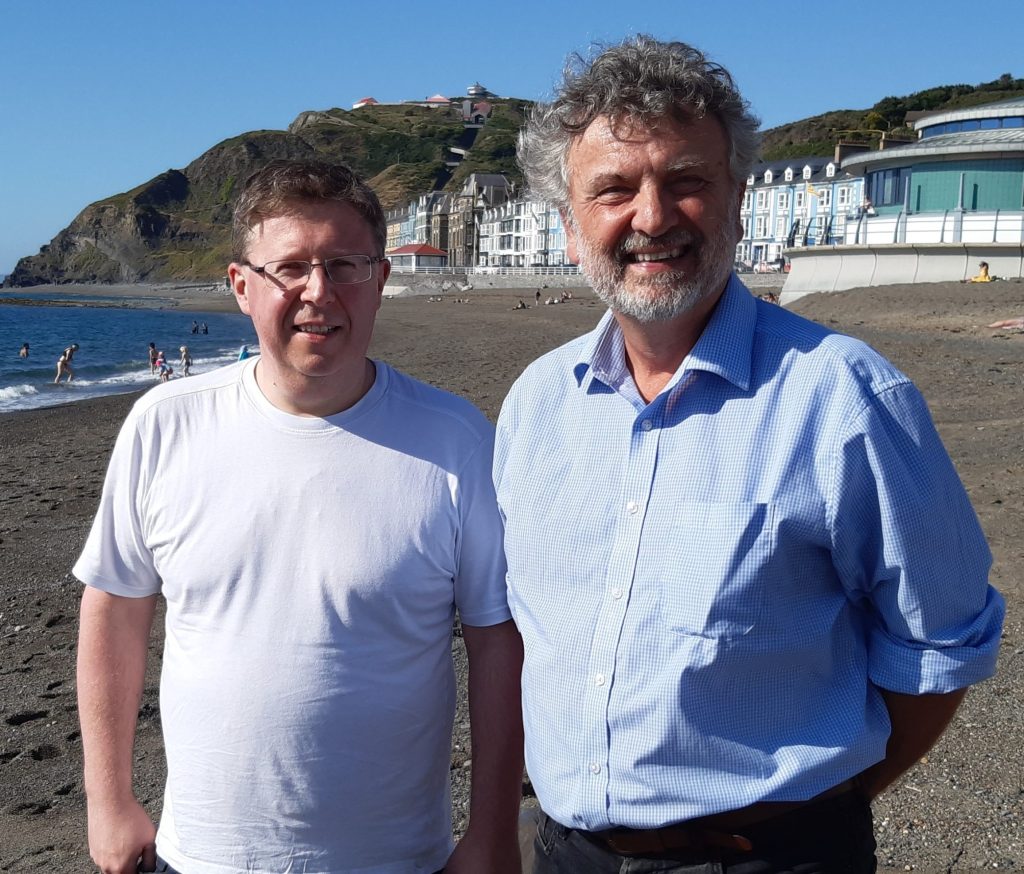
Professors David Willis (left) and Simon Haslett (right) at Aberystwyth on the shore of Cardigan Bay.
The study was inspired by a medieval map held in the collections of the Bodleian Library that depicts two islands in Cardigan Bay which no longer exist. The Gough Map, the oldest map of Great Britain, clearly shows two islands lying offshore, one between Aberystwyth and Aberdovey and the other between there and Barmouth to the north.
These ‘lost’ islands have not hitherto been the focus of a study and, in reviewing the local geological context, the authors suggest that they are likely to be the remnants of a low-lying landscape underlain by soft glacial deposits laid down during the last ice age which has since been dissected by rivers and truncated by the sea.

One of the many beautiful beaches that make up the Cardigan Bay coastline in West Wales.
As finer sediments of glacial deposits are eroded away the larger gravel and boulder component is left on the seafloor, and it is perhaps not surprising that the position of the islands coincides with the location of submarine accumulations of gravel and boulders, known locally as sarns. Although the sarns are considered by scientists to have been left behind by glaciers, any gravel and boulders released by the erosion of any islands would contribute to the accumulations.
Support for this proposal is further provided by Celtic literary sources with the Welsh tradition of a landscape called Cantre’r Gwaelod that is depicted as located in what is now Cardigan Bay, and lost due to inundation by the sea. Furthermore, coordinates provided for the location of the mouth of the River Ystwyth by the Roman cartographer Ptolemy suggest the coastline at the time may have been some 13 km further seaward than now.
Professor Haslett says that the research, published in the journal Atlantic Geosciences, “proposes a provisional framework for the evolution of Celtic coasts along the European seaboard and increases our understanding of potential coastal processes acting along the coast of Cardigan Bay where some towns are vulnerable to climate and sea-level change, and likely to result in some of the first climate change refugees in the UK”.